Lage
| Land: | Frankreich | |
| Administrative Region: | Centre-Val de Loire | |
| Départment: | Indre | |
| Arrondissement: | Châteauroux | |
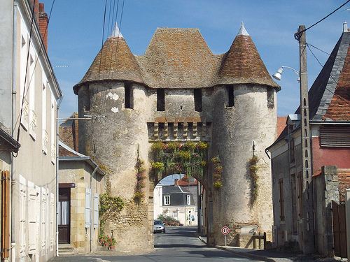
| Ort: | 36110 Levroux | |
| Geographische Lage: | 46.924°, 1.6122° | |
| Google Maps OpenStreetMap OpenTopoMap Burgenatlas | ||
Beschreibung
Ansichten
 | |
| Nielsa87 [CC BY-SA 3.0], from Wikimedia Commons |
Objekte im Umkreis von 5 Kilometern

Quellen und Literatur
| Salch, Charles-Laurant (o.J.): L'atlas des villes et villages fortifiés en France, (o.O.) |