Lage
| Land: | Frankreich | |
| Administrative Region: | Occitanie | |
| Départment: | Gers | |
| Arrondissement: | Condom | |
| Ort: | 32480 Gazaupouy | |
| Geographische Lage: | 43.9513°, 0.4504° | |
| Google Maps OpenStreetMap OpenTopoMap Burgenatlas | ||
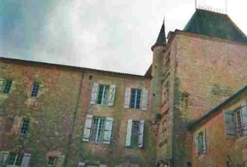
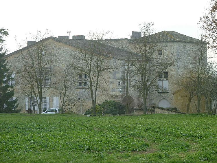
Beschreibung
Historie
| 15.Jh. | erbaut |
|---|
Objekte im Umkreis von 5 Kilometern

Quellen und Literatur
| Salch, Charles-Laurant (o.J.): L'atlas des villes et villages fortifiés en France, (o.O.) |